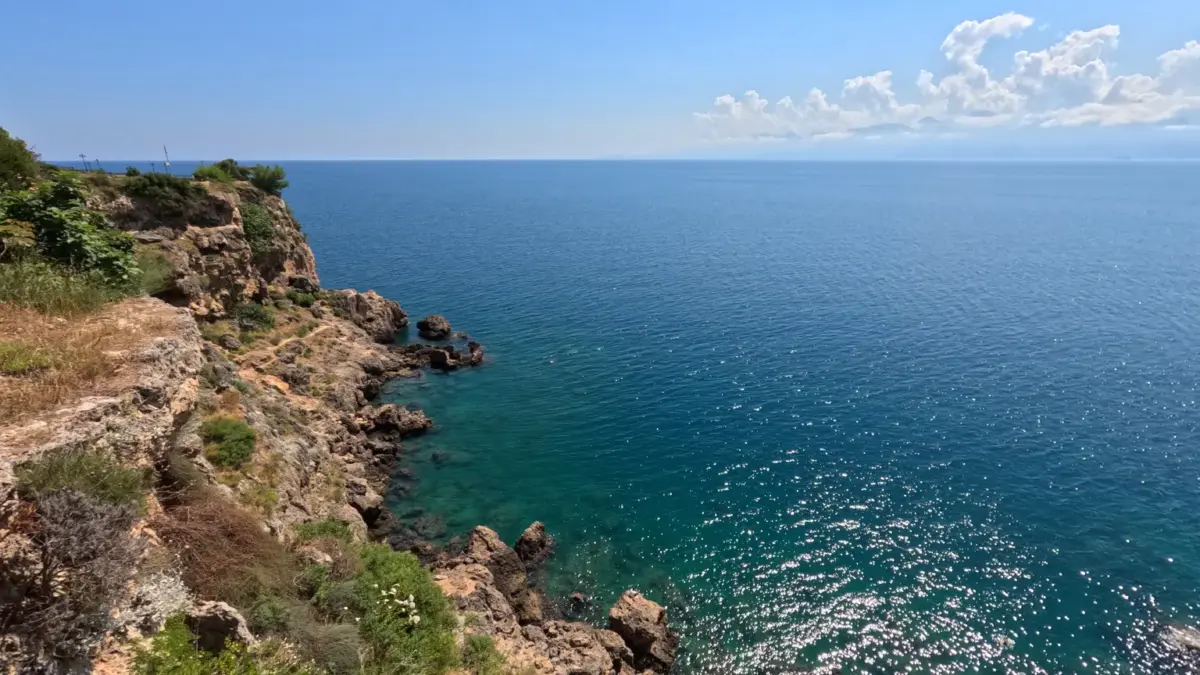
Mediterranean Sea temperatures rising above Caribbean levels and climate tropicalization, Digi Mart USA News: The Mediterranean recorded temperatures above 30 ℃ (86 ℉) south of Mallorca this summer, values comparable to and in some cases higher than those of the Caribbean and the Gulf of Mexico. The finding adds to a series of changes pointing to the tropicalization of the Mediterranean climate, including warming air and sea, shifts in pressure systems, and a less regular rainfall pattern.
No region of the Iberian Peninsula or the Balearic Islands has a tropical climate. To reach that classification, the average temperature of the coldest month would need to be at least 18 ℃.
The difference between Spanish winters and summers, along with winter temperature drops, does not reflect the conditions of a tropical region.
Tropicalization describes a climatic transition that, over recent decades, has left signals across the Mediterranean basin. These include higher air and water temperatures, changes in atmospheric circulation, and precipitation with increasingly unpredictable intervals and behavior.
Air temperature in the Mediterranean is rising faster than the global average, according to a scientific report on the Mediterranean climate and environment.
As a result, winter is shorter, summer lasts longer, spring arrives earlier, and autumn is delayed. Although some perceptions suggest the intermediate seasons are disappearing, they persist on a different calendar.
Surface and deep water temperatures in the Mediterranean have also risen, to depths of nearly 100 meters (328 feet).
According to Puertos del Estado, measurements south of Mallorca exceeded 30 ℃ on some days during recent summers. Marine warming has consequences for cyclone formation.
Warm water is one of the elements that allows a hurricane to form and intensify, so rising temperatures expand the ocean areas where such phenomena can develop. For a hurricane to form, the surface layer of the sea, up to several tens of meters deep, must reach at least around 26.5 ℃ (79.7 ℉).
That threshold was exceeded this summer over extensive Mediterranean areas.
Water vapor and the latent heat it carries supply energy to intense convective processes capable of generating storms and torrential rain. Major wind belts and pressure systems in the Northern Hemisphere appear to be moving toward higher latitudes.
This dynamic includes the belt of tropical and subtropical high pressure located south of the Mediterranean basin, associated with the origin of the Sahara and other deserts at a similar latitude. The change is linked to the expansion of the Hadley cell, the global-scale tropical atmospheric circulation that organizes climate patterns in equatorial and tropical latitudes.
If the trend continues, the Mediterranean atmosphere would gain stability, and rainfall would be distributed less regularly, with long dry periods alternating with intense downpours. This scenario coexists with the appearance, for decades, of Mediterranean depressions resembling tropical cyclones.
They are called medicanes, “Mediterranean mini-hurricanes” or “Mediterranean tropical cyclones.” A medicane is a low-pressure system in the Mediterranean with a warm core and a defined eye, sometimes nearly sharp in satellite images, surrounded by a dense spiral cloud layer. The system is usually accompanied by heavy rain and strong winds.
Medicane records date back to before the 1960s and include about 100 episodes. However, the definitions used have changed and some were broad, so the list requires review.
The lack of a uniform record makes it impossible to establish whether the frequency of these systems has increased at the same rate as air and water temperatures.
In early October 2026, it was suggested that torrential rains in Catalonia had been caused by a medicane. The hypothesis was not confirmed: no eye or spiral cloud structure appeared, wind had no significant role, and no low-pressure system formed.
Instead, several convective cells and mesoscale convective systems with unusual behavior, possibly without precedent, were detected. These storms will need detailed study to determine whether they are related to the tropicalization of the Mediterranean.
On the Mediterranean coast of Spain and other southern European countries, torrential rain episodes stem from several atmospheric configurations, according to a study on intense precipitation. These include cold-drop rains, persistent easterly winds that carry maritime moisture toward the coasts, marine cyclogenesis, and mesoscale convective systems.
These mechanisms can occur at the same time.
The region’s geography and climate make weather forecasting especially complex. For much of the year, consecutive days of atmospheric stability and good weather make conditions relatively easy to anticipate.
At other times, however, it is difficult to specify the extent and intensity of systems. The complexity of these processes can produce unexpected results.
The intensity of the Mediterranean climate and the difficulty of anticipating it place the region among the hardest to forecast in the world.
Uncertainty about the strength of precipitation and its surprising and unpredictable movements appears to have grown recently, particularly since global temperatures began rising sharply from 2022. For forecasting services, the challenge involves updating procedures, focusing attention on intermediate and local spatial scales, and adapting models to the surplus energy supplied by heat accumulated at the Mediterranean surface.
Observations from the public, integrated into a robust citizen science initiative, could also complement official records and improve public perception of risk.
Source: Alba Rueda, mudosocial.com (original publisher, reported by Prensa Mercosur). Not independently verified.