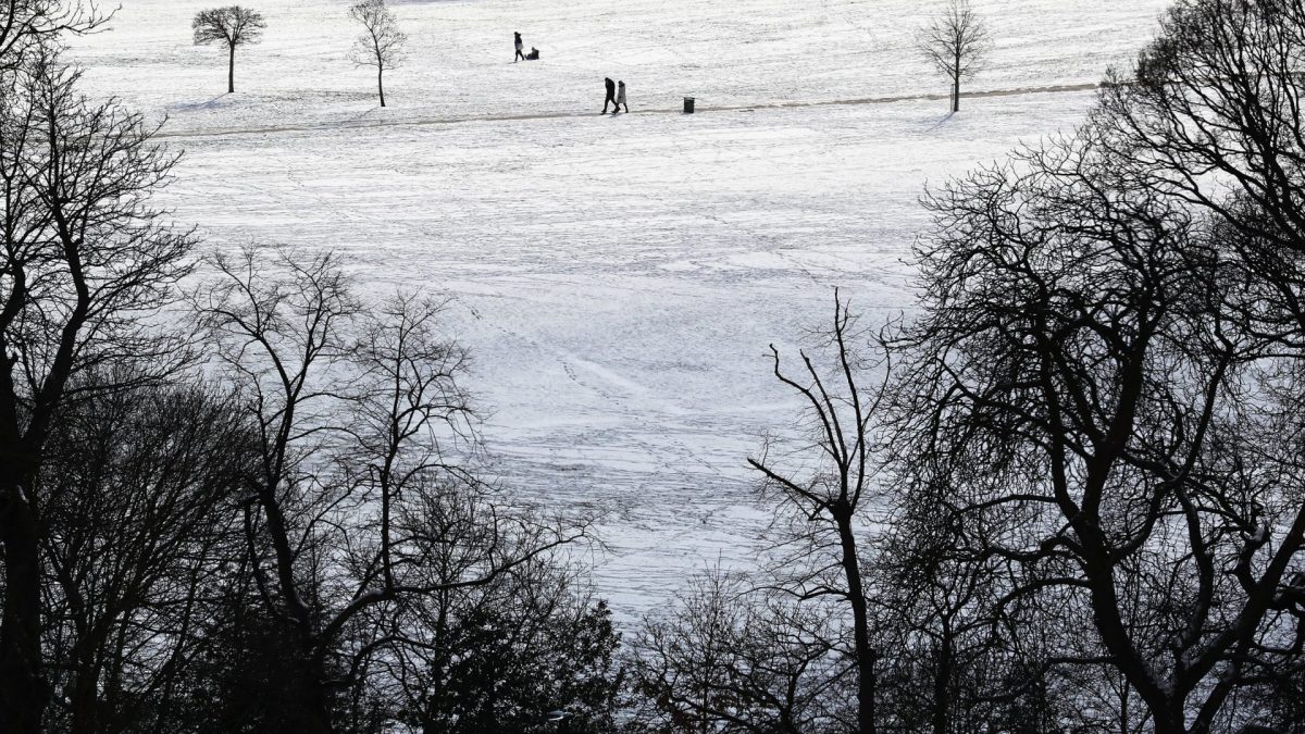
Polar vortex UK winter weather, Digi Mart USA News (United Kingdom): An unusual weather phenomenon is occurring high above the Arctic, with the potential to bring another Beast from the East to the UK later this winter. Powerful winds over the Arctic, known as the polar vortex, are weakening and bringing colder weather toward Europe.
While such events sometimes happen in the middle of winter, it is unprecedented for them to occur in early November. Many climate scientists believe this could be a result of the “Super” El Niño currently developing in the Pacific Ocean, which is expected to cause widespread disruption across the globe.
The polar vortex is a group of strong winds that develops 15 to 50 kilometers above the Arctic during the winter, trapping cold air above the North Pole. When these winds weaken, the jet stream can be disrupted and cold Arctic air can travel southward toward Europe.
This is what happened in February and March 2018, when the Beast from the East brought temperatures as low as minus 14 degrees Celsius to parts of the UK. Usually, the weakening of the polar vortex happens toward the end of winter, but scientists have recently observed unusually strong disturbances in the stratospheric winds.
According to the Met Office, the vortex is weakening at the earliest date in at least 75 years, when modern records began. It is currently unclear why this is happening so early.
Professor Amanda Maycock, a climate scientist at the University of Leeds, said “one of the potential contenders is the very strong El Niño event that’s happening at the moment in the Pacific.”
El Niño is a natural climate phenomenon involving a significant warming of ocean water in the central and eastern tropical Pacific Ocean. It occurs every two to seven years and influences weather patterns across the globe.
The Met Office has said the El Niño currently developing in the Pacific is the “strongest in living memory.”
“We know that during an El Niño event, the likelihood of one of these sudden stratospheric warmings happening is higher than normal,” Maycock said. “The fact that this El Niño event is record-breaking could have contributed to the fact that one of these polar vortex weakenings is happening so early on in the season.”
A weakening polar vortex can trigger a cold snap in the UK, the most notable example being the Beast from the East in 2018. Dr.
Matthew Patterson, a climate scientist at the University of St Andrews, said the event does not guarantee cold weather but “changes the odds” to make it more likely.
However, he said the impact of such events is “probably likely to be weaker” than if it happened later in the winter, as the winds are not as powerful as they would be in December or January. Maycock agreed that there is a “risk” of a cold snap developing toward the end of next week across the UK, but said this is unlikely to be extreme.
While the impact is likely to be limited in the short term, Maycock said long-term forecasts show “a very high chance of one of these events happening again later on in the winter.” If this happens, the result could be the usual winter storms being steered toward the Mediterranean, while the UK experiences calmer and colder conditions, potentially on the more extreme side.
Maycock said this could have longer-term impacts on the UK, with much of the country still in drought after an exceptionally dry summer. “If cold, calm and dry conditions occur later in the winter when we would normally see high levels of rainfall, it will reduce the recharge of water storage as we head into next year and might prolong the drought conditions,” she said.
However, many weather patterns affect the UK, and scientists warn there is only so much they can predict over the long term. Patterson said El Niño is the “dominant driver” of weather this winter, but there are “multiple pathways” through which it can affect the weather.
For example, it can bring cold weather through the weakening of the polar vortex, which sits in the stratosphere, or it can bring stormy weather through the lowest level of the atmosphere, known as the troposphere.