Australia south-east polar blast weekend snow and severe storms, Digi Mart USA News (Australia): Despite summer being just four weeks away, an unseasonal polar blast is set to bring winter-like conditions, including snow, hail and severe thunderstorms, to several states this weekend.
A cold front surging across Australia’s south-east is driving a burst of cold, wet and blustery weather from Tasmania onto the mainland, according to Weatherzone.
Victoria felt the brunt early Saturday, with Melbourne hovering around 15 degrees. Weatherzone warns that gusty southerly winds will make it feel colder than eight degrees for most of the day.
Showers and possible hail are expected across the state’s south and east, with further rain along the eastern ranges.
Tasmania will experience persistent wet and windy conditions throughout Saturday, with heavy rainfall slated for the south and west. Strong onshore winds hitting mountainous terrain could trigger up to 30 millimetres of rain across Friday and Saturday combined, alongside snow down to low levels.
Hobart is forecast to reach a top of just 14 degrees, about five degrees below its November average.
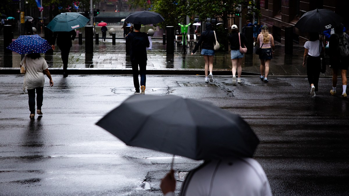
The front will then sweep into southern New South Wales and the Australian Capital Territory on Saturday morning before moving north, reaching the state’s north-east by nightfall. It is set to bring widespread showers across the ACT, southern, central and eastern NSW, with storms likely to erupt along the front of the southerly change.
Severe thunderstorms are also possible along a broad coastal stretch between the South Coast and the Mid North Coast, including Sydney, Wollongong, the Central Coast and Newcastle. In the NSW Alps, snow is expected to fall to about 800 metres by Saturday afternoon and evening.
Sydney is bracing for an abrupt plunge, with temperatures expected to drop by more than 10 degrees in as little as an hour when the southerly change blows through. Conditions will remain cool, wet and blustery along the NSW coast on Sunday, where wind chill will keep the city feeling below 10 degrees.
A developing low-pressure system over the Tasman Sea will also generate dangerous surf, with waves reaching up to three metres, hitting south-facing beaches the hardest.