France weather forecast cold temperatures and snow in the Pyrenees, Digi Mart USA News (France): Weather in France remains mixed this Tuesday, with sunny spells and persistent cool air in some areas. Certain regions could see some surprises as the week begins.
At the start of the week, France is enjoying mostly calm weather. However, despite the sunshine, it is particularly cold.
In some areas, temperatures are well below seasonal norms.
On Tuesday, sunny spells will be generous across several regions, notably from the Loire Valley to Lorraine. In the southeast, fine weather will also prevail.
Elsewhere, skies will be cloudier, but no rainfall is expected. Conditions will remain generally calm over much of the country, with a mix of cloud and sunny periods.
Some sectors will nevertheless experience wetter conditions. Showers are expected over the Cotentin and western Brittany, where clouds will be more active.
Localized precipitation may also affect areas near the Pyrenees as well as Corsica. In the Pyrenees, snow could fall from around 1,500 meters in altitude, with snowfall mainly affecting mountainous areas.
Along the Mediterranean coast, conditions will be more pleasant. Sunshine will dominate, although a chill may still be noticeable early in the day and in sectors exposed to the wind.
On Tuesday, temperatures will remain well below seasonal norms, particularly in the north and east. In northern regions, the thermometer will generally reach between 9 and 12 °C at its best during the day.
In the south, maximums will reach 12 to 15 °C, while the Mediterranean coast will enjoy milder temperatures of 16 to 18 °C.
In addition, the cold will be intensified by a northeast wind that can reach 50 km/h in the most exposed sectors. The wind will heighten the sensation of cold, even when temperatures are otherwise mild.
For now, forecasters are not describing a cold wave, but a period in which temperatures will remain below what is normally recorded at this time of year, according to La Chaîne Météo.
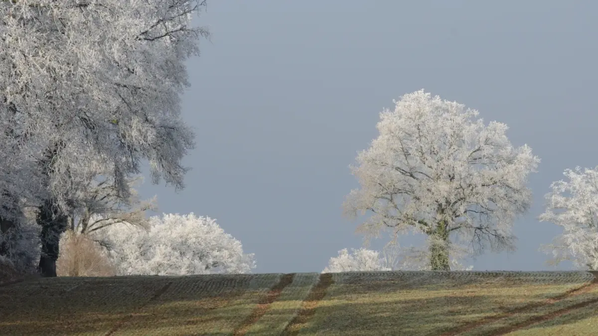
This trend is expected to continue for much of the week. Morning frosts may occur in several rural areas of France, particularly where skies are clear overnight.
As for precipitation, the north of the country should remain generally dry. However, rain could move up from the Mediterranean toward the southeast starting Wednesday, November 4.
From Wednesday, an episode of heavy rain is expected in the southeast of the country. This heavy rainfall is expected to continue until at least Friday.
Up to 150 mm is forecast, especially in Languedoc and the Cévennes, the most exposed sectors.