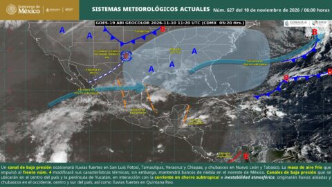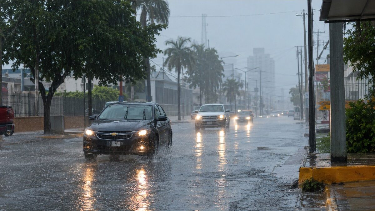
Tamaulipas weather forecast for Monday, November 9, 2026, Digi Mart USA News (Tamaulipas, Mexico): The weather in Tamaulipas this Monday will be marked by very heavy, localized rain in the northeast of the state, accompanied by lightning and possible flooding. According to the forecast, the rainfall could raise river and stream levels and cause landslides, waterlogging and flooding in low-lying areas.
Dense fog banks are also forecast during the morning, along with wind gusts of up to 60 kilometers per hour along the Tamaulipas coast. During the day, the sky is expected to be partly to mostly cloudy, with very heavy localized rain in northeastern Tamaulipas.
All the rainfall will be accompanied by electrical discharges, so residents should stay alert to changing weather and to warnings issued by authorities. In the morning, a cool to mild environment will prevail, with dense fog banks across much of the region.
In the afternoon, temperatures will favor a mild to warm environment.
The forecast directly identifies northeastern Tamaulipas as the area where very heavy localized rain is expected. The report does not provide a list of municipalities or detail how the precipitation will be distributed within this region.
Heavy rain is also forecast for central and southern Veracruz, as well as southern and western Tabasco.
Residents of northeastern Tamaulipas should stay alert to weather updates and communications from Civil Protection authorities. The forecast warns that the rain could cause rising river and stream levels, flooding in low-lying areas, waterlogged streets and avenues, landslides in vulnerable zones, reduced visibility and sudden water currents.
People should avoid crossing flooded streets, fords or currents, even if they appear shallow. They should also stay away from rivers, streams and canals if the water level begins to rise.
Drivers should reduce speed, turn on their lights and avoid flooded roads.
Yes, thunderstorms are expected. All the forecast rain will be accompanied by lightning, including the very heavy rain expected in northeastern Tamaulipas.
If a storm begins, the recommendation is to suspend outdoor activities and seek shelter in a safe building. People should also avoid staying under isolated trees or near posts, metal structures, fences and bodies of water.
The report does not mention the possibility of hail during this day.
Dense fog banks are expected across much of the region during the morning. These conditions could considerably reduce visibility on highways, roads and streets during the early hours.
Drivers should slow down, use low beams and keep greater distance between vehicles. Sudden maneuvers should be avoided, and hazard lights should be used only when a vehicle is stopped or poses a risk to other drivers.
In the mountainous areas of Veracruz, cold conditions are forecast during the morning.
Wind from the north is expected, with sustained speeds of 20 to 30 kilometers per hour along the Tamaulipas coast. Gusts could reach 40 to 60 kilometers per hour along the state’s coastline.
Under these conditions, it is advisable to secure light objects placed in yards, balconies and rooftops, as tarps, umbrellas, containers, flowerpots and small signs could be moved by the gusts. Motorcyclists and cyclists should pay particular attention to crosswinds, especially on bridges and roads near the coast.
For Veracruz and Tabasco, variable-direction winds of 10 to 20 kilometers per hour are forecast.