Mexico weather forecast cold front number 4 rain and wind, Digi Mart USA News (Mexico): Much of the country will remain under stable atmospheric conditions, while the advance of cold front number 4 keeps the northern and northeastern regions on weather alert. Rain, showers and wind gusts of up to 50 kilometers per hour are expected there.
The National Meteorological Service (SMN) reported that a mid-level anticyclone will cover much of Mexico, favoring skies with little cloudiness and a low probability of precipitation. However, this scenario will not be widespread, due to the interaction of other weather systems that will bring variable conditions to different states.
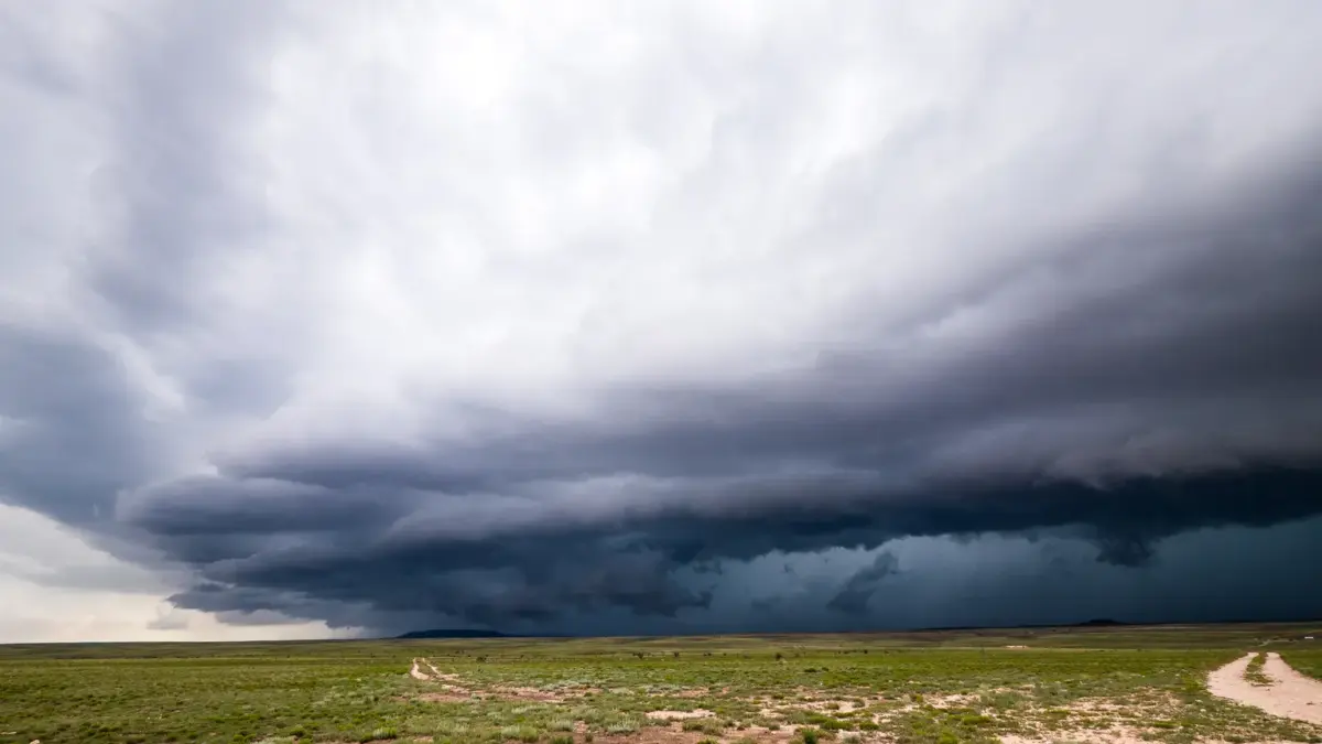
Cold front number 4 will extend over the north and northeast, where it will interact with a mid- and upper-level trough. This combination will favor rain and intervals of showers, along with winds gusting between 30 and 50 kilometers per hour.
States forecast to have intervals of showers, with accumulations of five to 25 millimeters, include Nuevo León, Tamaulipas, San Luis Potosí, Jalisco, Colima, Michoacán, Guerrero, Oaxaca, Chiapas, Veracruz, Tabasco, Campeche, Yucatán and Quintana Roo.
Meanwhile, Nayarit, Coahuila, Querétaro, Hidalgo, Puebla, the State of Mexico and Morelos could record isolated rain, with precipitation of between 0.1 and five millimeters.
Thermal contrast will be another defining feature of the day. While some regions of the country will reach temperatures of up to 40 degrees Celsius, mountainous areas of the north will record below-zero values during the early hours of the day.
Maximum temperatures of 35 to 40 degrees are forecast for Sinaloa, Michoacán, Guerrero, Oaxaca, Chiapas and Tamaulipas.
Temperatures of 30 to 35 degrees are also expected in southern Sonora, western Durango, Nayarit, Jalisco, Colima, eastern Nuevo León, San Luis Potosí, northern Querétaro, northern Hidalgo, Morelos, northern and southwestern regions of Puebla, Veracruz, Tabasco and the Yucatán Peninsula.
By contrast, cold conditions will persist in the mountain regions of Baja California, Chihuahua and Durango, where minimum temperatures of between minus five and zero degrees are forecast.
Readings of zero to five degrees are also expected in mountain areas of Sonora, Michoacán, the State of Mexico, Hidalgo, Tlaxcala, Puebla, Veracruz and Oaxaca.
Wind conditions also call for caution, particularly in open areas, on highways and in coastal regions.
The SMN forecast winds of between 10 and 20 kilometers per hour, with gusts of 30 to 50 kilometers per hour, in the Gulf of California, Baja California, Baja California Sur, Coahuila, Nuevo León, Tamaulipas, San Luis Potosí, Guanajuato, Querétaro, Hidalgo, Puebla, Tlaxcala, the State of Mexico and Mexico City.
These conditions will also reach the coasts of Sonora, Sinaloa, Nayarit and Jalisco.
On surf conditions, wave heights of two to three meters are expected on the western coast of the Baja California Peninsula, while on the coasts of Sinaloa, Nayarit and Jalisco they could reach between one and two meters.
Meteorological authorities warned that wind gusts could cause trees and billboards to fall, and recommended staying away from structures that could come loose.
In addition, fog banks could significantly reduce visibility on highways and in urban areas, increasing the risk of accidents, especially during the early morning hours.
Given this outlook, the weather agency is monitoring cold front number 4 and recommends that the public stay informed through official alerts, take precautions when driving and follow the instructions of Civil Protection authorities.
The behavior of the atmospheric systems will maintain contrasting conditions across the country, with intense heat in some states, temperatures near zero in mountainous areas and scattered precipitation in western, eastern and southeastern Mexico.