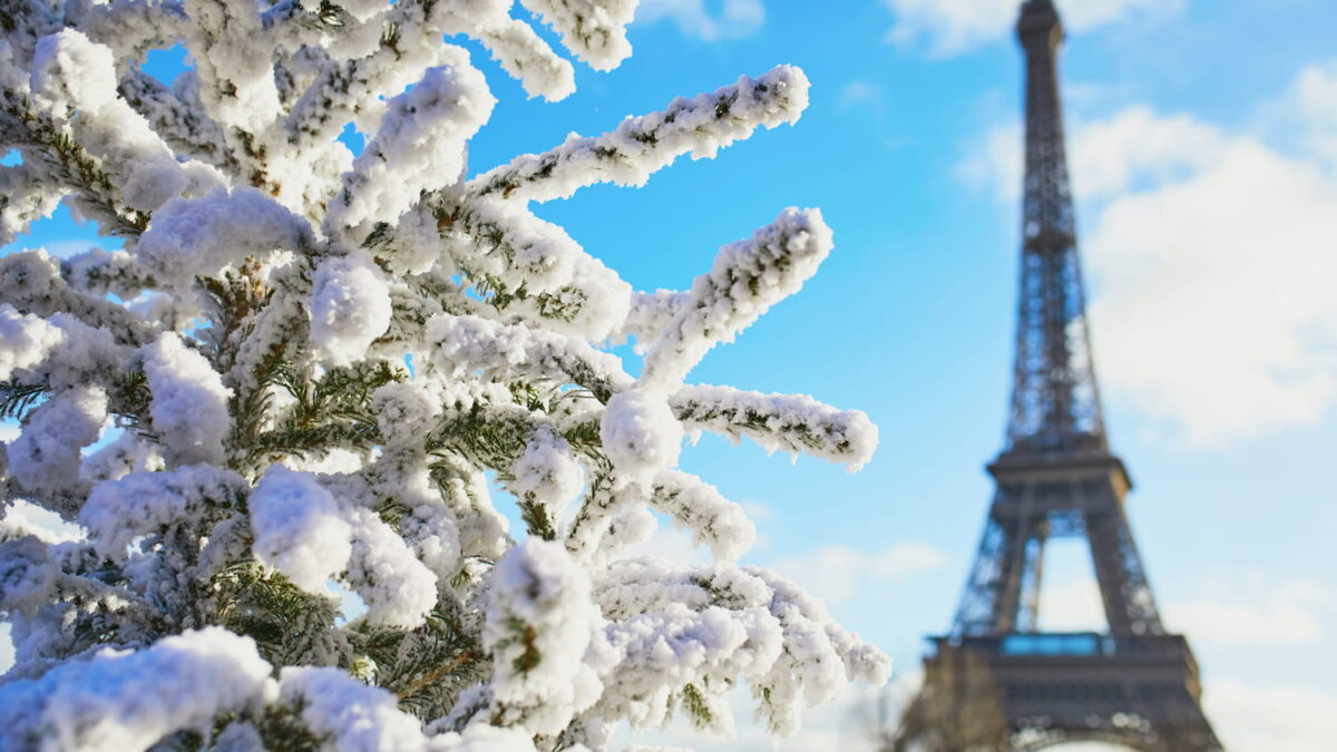
France winter 2026-2027 forecast cold weather outlook, Digi Mart USA News (France): Will France face a cold winter? Long-range forecasts for the coming months are beginning to take shape.
Temperatures dropped during the first week of November, and the cooling is not over. A further fall is expected this Saturday, November 14, which could be the coldest day since the start of autumn, according to La Chaîne Météo.
A polar air mass will push the national thermal indicator down to around 6°C, which is 4°C below seasonal norms. The wind chill will make it feel colder, and frost is possible, with minimum temperatures between -3°C and 0°C in some areas.
Météo-France forecasts -2°C in Chaumont, -1°C in Limoges and Reims, 0°C in Metz, and 1°C in Strasbourg and Amiens. This cold spell is expected to be temporary.
For the following week, temperatures above seasonal norms are expected. As disturbances move in, the mercury will rise.
This humid but mild weather could persist until the end of November. Dry weather may return in early December, with temperatures dipping slightly but not necessarily falling below seasonal norms.
Mildness is expected to be pronounced in December. According to La Chaîne Météo’s seasonal forecasts, temperatures would generally run about 2°C above normal for the last month of the year, or even more.
Occasional cooling spells are still possible. The European ECMWF model currently shows no negative temperature anomalies through the Christmas holidays.
The climate would be accompanied by regular rainy periods, which should bring snow back to the mountains, mainly at high altitudes above 2,000 meters. The rain-snow boundary may vary from episode to episode.
In January, “incursions of cold air” are expected, with temperatures generally about 1°C above seasonal norms and precipitation still above average. January and February should nonetheless be somewhat colder.
Temperatures could temporarily fall below 0°C, but it is too early to say more, and forecasts will need refinement as the date approaches.
El Niño may also influence this winter’s weather. The phenomenon is expected to reach exceptional strength by the end of the year.
It involves an abnormal natural warming of equatorial Pacific waters that alters the planet’s atmospheric circulation. Its influence on Europe is indirect and variable, so El Niño does not necessarily signal a difficult winter in France.
The polar vortex, the strong winds circulating high above the Arctic, is also being closely monitored. It experienced an early disruption in early November.
“To our knowledge, this is the earliest stratospheric vortex disruption ever observed,” Tim Stockdale and Frederic Vitart of ECMWF told AFP. Judah Cohen, a climatologist at the Massachusetts Institute of Technology, said the disruption “considerably increases the risk of cold waves in the most populated regions of the Northern Hemisphere, the United States, Europe and East Asia.”