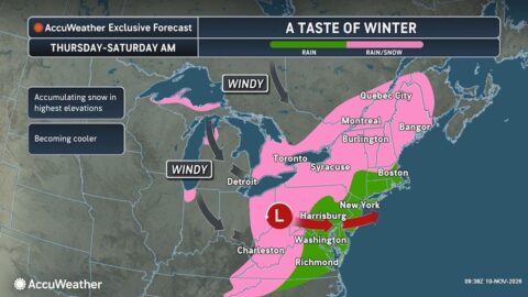
Nor’easter cold rain and snow forecast for New England starting Thursday, Digi Mart USA News (Boston, Massachusetts): An approaching storm system will bring a mix of snow, rain and blustery winds to New England. The Boston area is expected to see all rain, while inland areas and higher elevations will get a first taste of wintry weather in the form of snow.
This storm is not expected to be a potent system, but it will be cold enough in some spots to generate as much as 3 to 6 inches of snow across Northern New England as it slides off the Mid-Atlantic coast and develops into a nor’easter.
In Massachusetts, rain is expected east of I-495 and south of the Mass Pike. A changeover to wet snow is expected west of I-495 along Route 2, with a coating to a couple of inches accumulating across Northern Worcester County and into the Berkshires.
It will also be brisk, especially all day Friday, with temperatures in the 40s, and Saturday morning, with temperatures in the 30s, along with gusty winds. Southern New England is not expected to get widespread snow, but Greater Boston may end up with about an inch of cold, windswept rain, not a washout like the one seen last week in Southeastern Massachusetts.
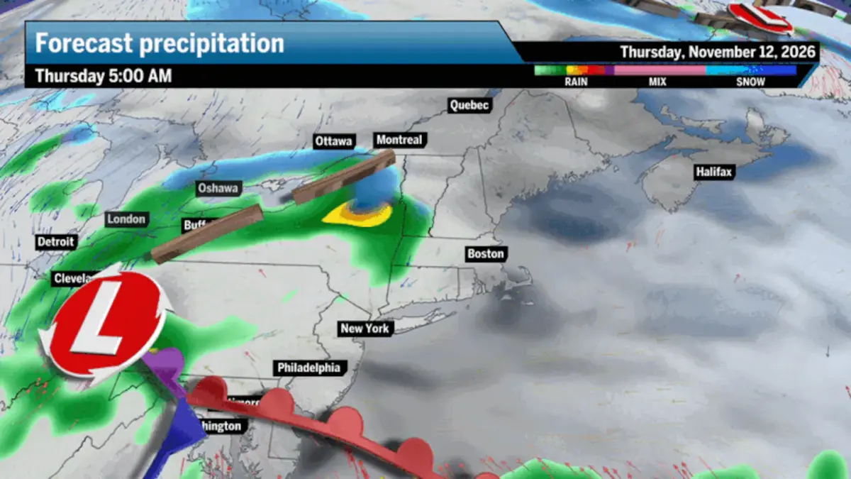
Thursday morning and afternoon, light snow and rain will hit Western Massachusetts and parts of Western Vermont. Rain will extend into Greater Boston, Southeastern Massachusetts, Cape Cod and Rhode Island around the evening commute.
Scattered pockets of precipitation will continue through Thursday night and much of Friday. Snow will continue across Northern New England and the Northern Berkshires, while cold rain showers will continue across Greater Boston and most of Southern New England.
Northern New England and higher elevations across Massachusetts will begin to see a changeover to a wintry mix Thursday night as temperatures fall, eventually changing over to all snow overnight into Friday. Scattered light rain and snow showers will taper off Saturday morning.