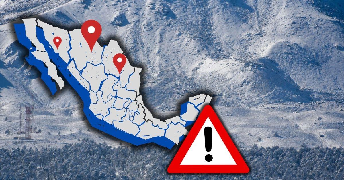
Mexico weather forecast rain and freezing temperatures November 10 2026, Digi Mart USA News (Mexico): The weather forecast for Tuesday anticipates rain in various regions of Mexico due to the effects of cold front No. 4, which will remain stationary over the Gulf of Mexico. According to the National Meteorological Service (SMN), this system will interact with low-pressure troughs over the western Gulf of Mexico, the southeast and the Yucatán Peninsula, conditions that will favor precipitation of varying intensity.
The states most affected will be San Luis Potosí, Tamaulipas, Veracruz and Chiapas, where heavy localized rain is expected. Showers are also forecast in states in the northeast, center, west and southeast of the country.
The SMN forecasts heavy rain, showers and isolated precipitation in several entities. Heavy showers with localized rainfall of 25 to 50 millimeters are expected in northern and southern San Luis Potosí, northern and southern Tamaulipas, northern and southern Veracruz, eastern Quintana Roo and southern Chiapas.
Showers of 5 to 25 millimeters are forecast for Nuevo León, Guanajuato, Jalisco, Michoacán, Querétaro, Hidalgo, Puebla, the State of Mexico, Guerrero, Oaxaca, Tabasco, Campeche and Yucatán. Isolated rain of 0.1 to 5 millimeters is expected in Baja California Sur, Chihuahua, Coahuila, Zacatecas, Aguascalientes, Colima, Mexico City, Morelos and Tlaxcala.
The cold air mass associated with front No. 4 will bring cooler conditions to the north and northeast of the country, along with conditions for the formation of fog banks. Heat will continue in some regions, however.
For Tuesday, maximum temperatures of 35 to 40 degrees are forecast in southern Sonora, Sinaloa, Nayarit, Jalisco, Colima, Michoacán, Guerrero, Oaxaca, Chiapas and Campeche, while maximums of 30 to 35 degrees are expected in Baja California Sur, Morelos, southwestern Puebla, central and southern Veracruz, Tabasco, Yucatán and Quintana Roo.
In contrast, overnight minimum temperatures of -5 to 0 degrees are expected in mountainous areas of Chihuahua and Durango. Temperatures of 0 to 5 degrees are also forecast in mountainous areas of Baja California, Sonora, the State of Mexico, Tlaxcala, Puebla, Veracruz and Oaxaca.
In addition to rain, the forecast calls for north-component winds of 20 to 30 kilometers per hour, with gusts of 40 to 60 kilometers per hour in the Isthmus and Gulf of Tehuantepec in Oaxaca and Chiapas. Winds of 10 to 20 kilometers per hour, with gusts of 30 to 50 kilometers per hour, are expected in Baja California, Baja California Sur, Sonora, Chihuahua, Coahuila, Nuevo León, Tamaulipas, San Luis Potosí, Sinaloa, Durango, the State of Mexico, Mexico City, Puebla, Campeche and Yucatán.
Regarding swells, waves of 2 to 3 meters are expected on the western coast of the Baja California Peninsula, while in the Gulf of Tehuantepec they could reach 1 to 2 meters.
Cold front No. 4 will remain stationary over the eastern Gulf of Mexico Wednesday and, combined with low-pressure troughs, will maintain conditions for rain and showers in the northeast, east and southeast of the country. Heavy localized rain is forecast Wednesday in parts of San Luis Potosí, Tamaulipas, Veracruz, Chiapas and Quintana Roo, with intermittent showers in Nuevo León, Guanajuato, Jalisco, Michoacán, Querétaro, Hidalgo, Puebla, the State of Mexico, Guerrero, Oaxaca, Tabasco, Campeche and Yucatán.
The cold air mass tied to the frontal system will also favor fog banks in northeastern Mexico.
The SMN recommends staying informed through official alerts, as heavy rain may be accompanied by electrical discharges, wind gusts and hail. It may also cause rising river and stream levels, landslides, waterlogging and flooding in low-lying areas.