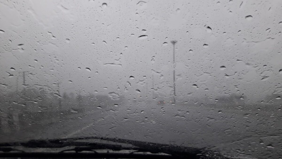
Storm Bruna weather forecast France, Digi Mart USA News: French weather is changing this Monday, with a return of mild temperatures, rain and gusty winds. A turbulent week is taking shape across several regions of the country.
After the temperature drop recorded the previous week, mild weather is now in place at the start of this week. However, this warming is accompanied by rain and strong winds in several regions of the country.
According to Gilles Matricon, a meteorologist at La Chaîne Météo, the anticyclone over central Europe is gradually losing its influence. Depression Bruna, moving north from the Azores toward the Bay of Biscay, is bringing a milder, more humid air mass accompanied by a southerly wind.
In the Southeast, rain is expected from Occitanie to Provence-Alpes-Côte d’Azur, and it should intensify over the Cévennes. Sea wind could reach gusts of 60 km/h along the coast.
Another disturbance is expected to reach the Southwest and then the central regions from the afternoon, bringing additional precipitation.
Conditions will be more pleasant at the foot of the Pyrenees and in the Toulouse area, despite a strong autan wind, with gusts possibly reaching 70 km/h. In the north and east, morning fog may persist locally before giving way to some sunny spells, particularly toward Nord-Pas-de-Calais.
Some light frost remains possible at daybreak north of the Seine. Temperature contrasts will be pronounced.
In the Southwest, thermometers should show 12 to 15 °C from the morning. In the afternoon, maximums could reach 14 to 18 °C in many regions, with peaks near 20 °C at the foot of the Pyrenees.
Conversely, cooler conditions would persist between Lille and Strasbourg, where temperatures should hover around 10 °C.
Depression Bruna, named by Portuguese meteorological services, is expected to continue changing the weather through the week. According to La Chaîne Météo, showers, rain and gusts of wind should gradually affect more regions.
The Southeast would remain particularly exposed, with a new Mediterranean episode considered from Wednesday evening, November 11.
The amounts of rain and their geographic distribution will need to be specified in upcoming forecasts. Elsewhere, precipitation should be more moderate and could help locally ease the water shortage.
The southerly wind should also prolong the mild weather, with maximum temperatures between 13 and 18 °C over much of the country in the coming days. These values would be more typical of early October than of the second week of November.
This autumnal mildness should not mask the return of disturbed weather. In areas exposed to heavy rain and wind, residents are advised to check updated bulletins and any alerts from Météo-France.
Bad weather is expected to peak mid-week on the Iberian Peninsula as well as in southern France. A subtropical depression from the Antilles could interact with Storm Bruna and strengthen the bad weather.