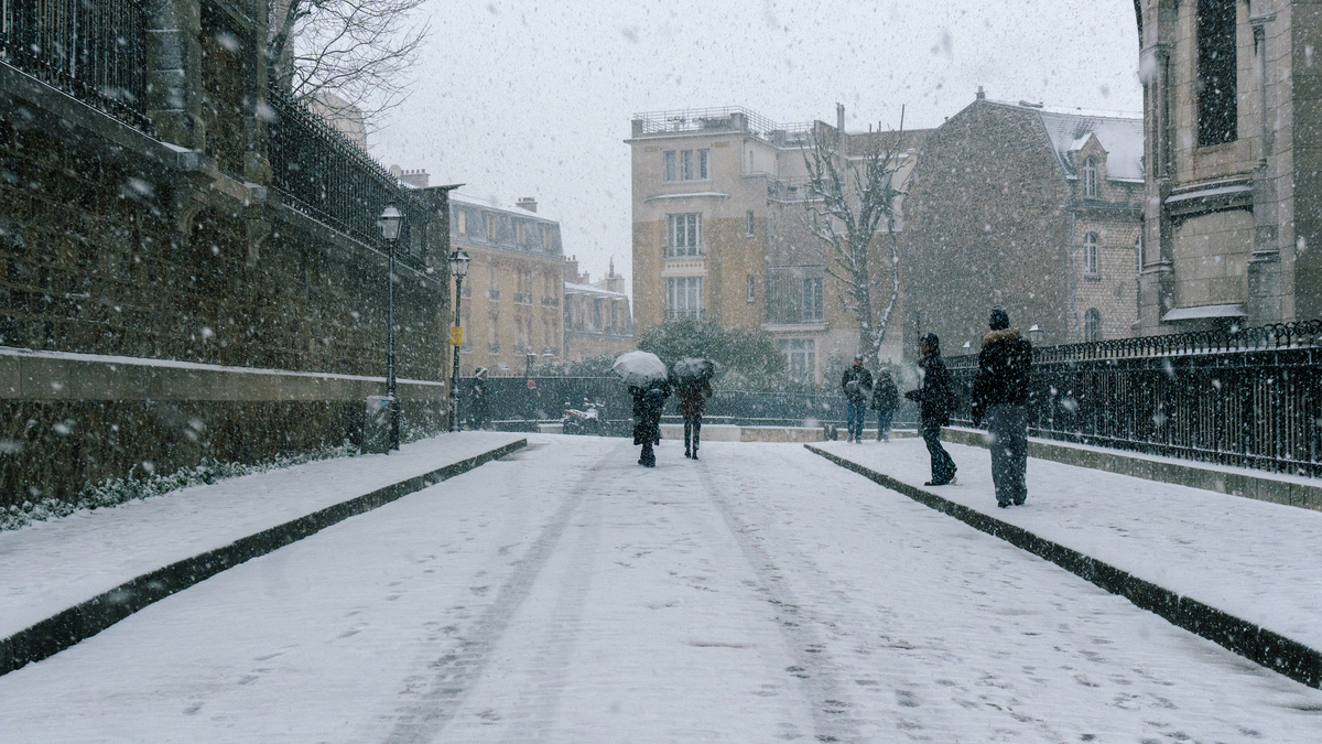
Polar vortex cold snap forecast for Paris, Digi Mart USA News (Paris, France): Temperatures have been falling for several weeks in the French capital, and that trend could continue as a polar vortex is expected to move over France in the coming weeks. The consequences for Paris remain uncertain for now, but the meteorological phenomenon could lead to a further drop in temperatures.
Each winter, a polar vortex forms over the Arctic. It is a large whirl of westerly winds which, if temperatures warm unusually and rapidly, can break apart into pockets of cold air that may move south toward Europe.
According to Tim Stockdale and Frederic Vitart of the European Centre for Medium-Range Weather Forecasts (ECMWF), this is “the earliest disturbance ever observed.” If these cold air masses reach France, they could cause an unexpected drop in temperatures.
The article notes that several days of signals point to a sudden stratospheric warming (SSW) event. If confirmed, its possible weather impacts in France are still being studied.
The publisher reassures readers that any effects on the capital would not arrive for several weeks, as the phenomenon needs time to develop and travel to France.
The first cold currents could arrive as early as late November, compared with January last year. However, this potential cold wave depends heavily on how the vortex, the winds and its descent toward the lower atmosphere evolve.
Current forecasts point to an anticyclone at the end of the month or in early December, but the situation remains fluid and experts are monitoring it closely.
Online, claims of a “historic” disruption of the polar vortex, with talk of a cold wave and snowfall in France, have spread widely in recent days. The publisher notes that the true forecast lies between genuine meteorological signals and exaggeration.