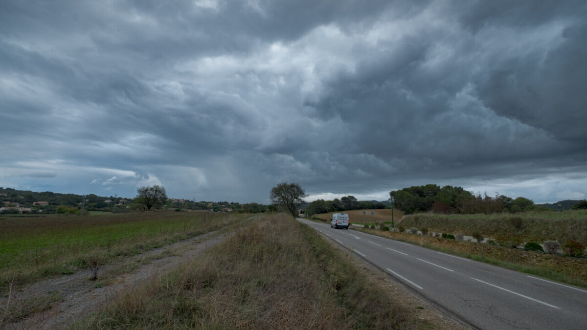
Storm Charles France weather forecast, Digi Mart USA News: Heavy rain and stormy winds are being reported as Portuguese and Spanish weather services issue alerts ahead of the arrival of Storm Charles, which follows Storm Bruna. Storm Bruna is expected to remain farther offshore in the Atlantic.
Charles is also expected to affect France.
Winds are forecast to strengthen considerably on the evening of Wednesday, November 11, and overnight into Thursday, November 12, 2026, with gusts between 80 and 100 km/h on the Pyrenees ridgelines, and possibly higher. These gusts are also expected to extend to the Basque Country.
An autan wind is also expected to set in between the Toulouse Midi and the Tarn overnight into Thursday, while rain is expected to intensify in the south.
Rainfall could be stormy and intense across a large part of the southeast, particularly in Provence and Corsica. Since late September, five episodes of heavy rain have already affected regions around the Mediterranean, according to the source.
On the evening of Wednesday, November 11, 2026, an active front is expected to reach southwestern France with frequent and sustained rain.
Meteorologist Yann Amice said the Charles depression should position itself over southwestern France on Thursday, November 12, bringing strong gusts in the southwest and rain, sometimes sustained, south of the Loire. The most intense precipitation, sometimes stormy, is expected in the southeast.
In Portugal, schools and non-essential public services will be closed on Wednesday, November 11, 2026. Several regions have been placed on red alert due to the storm, which could bring gusts of up to 140 km/h, the government announced on Tuesday.
Interior Minister Luis Neves urged residents to stay home, calling the day exceptional.
According to the Portuguese Institute of the Sea and Atmosphere (IPMA), the first effects of the Charles depression are expected in Portugal from late morning on Wednesday, while the island of Madeira, located off the Moroccan coast, should be affected by the end of the day on Tuesday. Eight districts in central and southern Portugal, including the capital Lisbon, will be placed on red alert.
Gusts could reach 100 to 120 km/h, or even 140 km/h, particularly along the coast. Heavy rain is also expected, raising fears of flooding, especially in urban areas.
Authorities also fear falling trees and structures, as well as power and telecommunications outages.
The front is expected to clear on the first part of Friday, November 13, after which temperatures will become the main weather story, with a noticeable drop. Storm Bruna has been drawing warm air toward France since Tuesday, with locally highs of 25°C in the southwest.
An anticyclone positioned over the British Isles is expected to take over on Friday, shifting the flow to the northeast. More continental air will then move over France, with possible light frosts in many northern regions on Saturday, November 14, under dry and sunny conditions.
On Saturday afternoon, temperatures are expected to struggle to reach 10°C in many regions north of the Loire. This cold spell is not expected to last, as a new disturbance is forecast to reach northwestern France from Sunday, November 15, bringing a return of rain and milder weather.