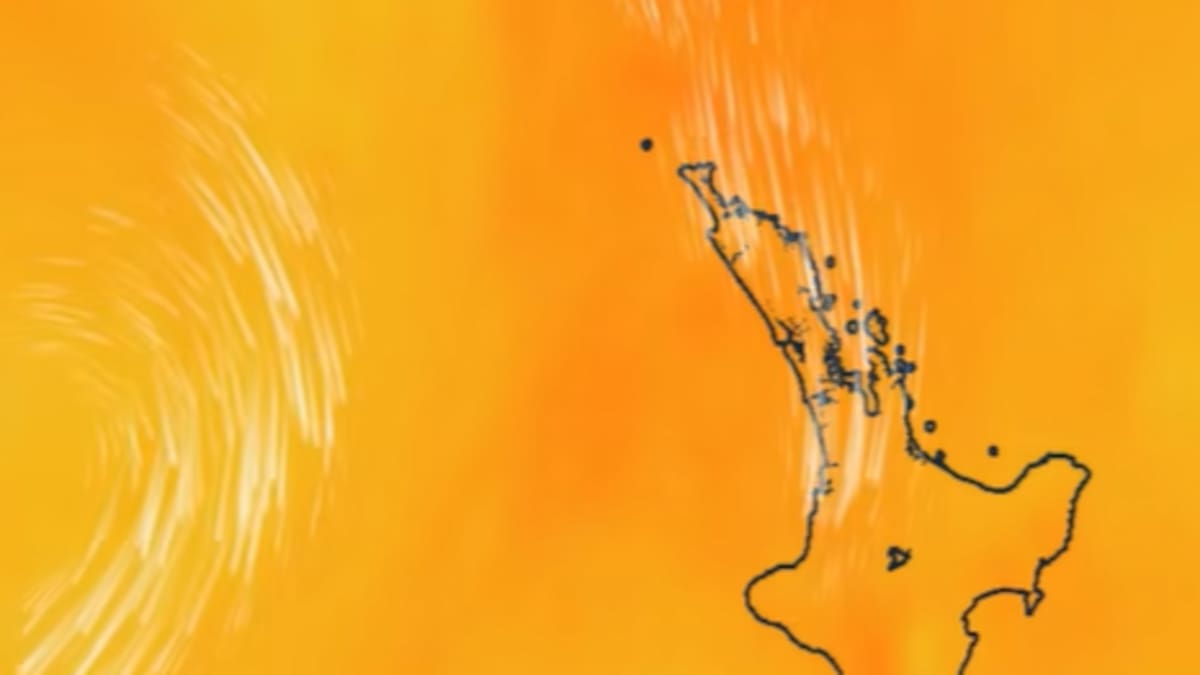
North Island humid nights and thunderstorms, Digi Mart USA News (New Zealand): Muggy nights and more thunderstorms are on the way for New Zealand’s North Island as a “subtropical air express” brings warm, moisture-laden Pacific air. MetService says a humid northerly flow will gradually spread across the island at the start of this week.
Meteorologist Paris Marshall told the New Zealand Herald that Whakatāne and Whitianga were forecast to have “sweltering” overnight lows of 17C on Monday night. The incoming weather follows a dramatic Saturday afternoon when thunderstorms unleashed torrential rain and large hailstones across parts of the North Island.
Marshall said the incoming weather was being driven by a separate system from the Tasman Sea. “It’s just been whirling away for a while, collecting all this moisture from the ocean,” she said.
“And it’s decided, oh, let me just head over to New Zealand … which is a bit unfortunate for those who have already suffered quite wet weather.”
MetService detected more than 5000 lightning strikes on Saturday, mostly across the North Island. In Auckland, large hailstones damaged vehicles in the Waitākere Ranges, while heavy downpours caused flooding on the North Shore.
The storms also disrupted flights, caused power outages and delayed the Auckland FC-Wellington Phoenix match.
Meanwhile, severe thunderstorms swept through parts of Canterbury on Saturday afternoon, prompting a warning for the Hurunui District. MetService detected severe thunderstorms near Culverden and Hanmer Springs shortly after 3.20pm, with torrential rain, hail and frequent lightning forecast.
The warning was lifted at 4.11pm after the storm weakened, with MetService saying further severe thunderstorms were unlikely that day.
Marshall said there was a moderate risk of thunderstorms across central and northern parts of the North Island on Monday, with a low risk of localised downpours bringing 25-40mm of rain an hour. She said the forecast could change as the weather system developed.
Further thunderstorms are possible on Tuesday, particularly in Northland, Auckland, Coromandel and Bay of Plenty, with heavy rain also possible in the lower North Island and Nelson-Tasman.
Marshall said low-lying areas and properties on floodplains were particularly vulnerable if intense downpours developed. The South Island will largely escape the humidity until Wednesday, when the system is expected to “push off” from the North Island, bringing wetter and muggier conditions further south.
Marshall said overnight temperatures in the South Island would be less extreme, although Invercargill could reach a daytime maximum of 23C on Tuesday, which was “quite high for that far south.” Temperatures in Christchurch and the Canterbury region could climb to 25C on Wednesday. North Islanders, meanwhile, can expect some relief from the humidity.
“You’ll start to feel cooler at night-time on Wednesday, and then Thursday and Friday it should settle back to normal temperatures.”