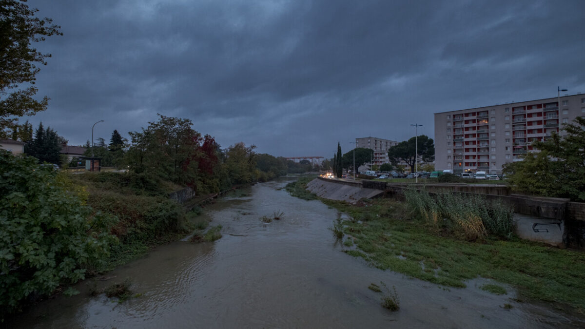
Mediterranean rain and storm alerts in southern France, Digi Mart USA News (France): Flooded roads in Montpellier and a violent hailstorm in Saint-Jean-de-Védas were reported in Hérault, according to Le Métropolitain. The situation was even worse in Corsica, where dozens of people were evacuated, particularly around Porto-Vecchio.
Corse Matin reported that 20 schools in 12 municipalities on the island of Beauté were closed. Between Wednesday afternoon and Thursday afternoon, 100 to 180 millimeters of rain fell on an axis between Figari and southeast of Corte, with locally more than 200 mm over high terrain, and values around 100 mm along the east coast of Corse-du-Sud, particularly between Conca and Porto-Vecchio.
Over a Montpellier (Hérault)-Alès (Gard) axis, 90 to 130 mm of rain fell in the past 24 hours, including 121 mm at Montpellier airport. A Mediterranean weather episode developed over the south of the country, with rains intensifying Wednesday evening and continuing Thursday, particularly over eastern Corsica, Languedoc and the lower Rhône valley, areas already weakened by the episode of October 19–20.
In its 4 p.m. bulletin on Thursday, Météo France maintained an orange “rain-flooding” alert for Corsica for Friday, November 6, and yellow alerts for several departments, although conditions were expected to gradually improve on Friday.
Departments under orange alert for Friday, November 6, 2026 include Corse-du-Sud and Haute-Corse for rain-flooding.
Departments under yellow alert for Friday, November 6, 2026 include Alpes-Maritimes (rain-flooding), Bouches-du-Rhône (rain-flooding, storms), Corse-du-Sud (storms), Haute-Corse (storms, flooding), Gard (rain-flooding, storms, flooding), Hérault (rain-flooding, storms, flooding) and Var (rain-flooding).
Météo France said the night from Thursday to Friday would remain largely rainy and locally stormy in the southeast, particularly eastern Languedoc and eastern Corsica. Rain would continue Friday morning from the Rhône-Alpes region to eastern Languedoc, as well as in Provence-Alpes-Côte d’Azur and Corsica, before gradually moving east of the Rhône in the afternoon while losing intensity.
Storms could produce intensities above 50 mm per hour, creating a very high risk of runoff, the agency warned. Totals of 70 to more than 100 millimeters could still fall locally in areas already heavily soaked.
Over the entire episode, totals were expected to be roughly 150 to 250 mm across a wide area, and could locally exceed 300 mm over high terrain.
Snow was also forecast in the Alps Friday above 1,800 to 2,000 meters in altitude. Minimum temperatures Friday were expected between 7°C and 13°C around the Mediterranean coast, and often between 1°C and 6°C elsewhere, locally 0°C to -1°C with light frost from southern Aquitaine to the Pyrenean foothills, the central region and the Grand Est.
Afternoon maximums were expected to reach 7°C to 9°C from the Ardennes to Alsace, 10°C to 15°C across the rest of the northern half and central-east, 14°C to 18°C under sunshine in the southwest and Mediterranean regions, and locally 19°C to 20°C in Roussillon.