

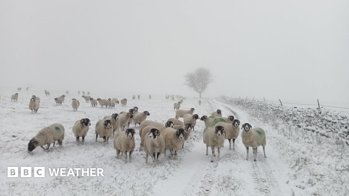
UK snow forecast, Digimart Global (United Kingdom): Snow fell across parts of northern England and southern Scotland on Tuesday, following the first widespread Met Office weather warning for snow of the season. Around 1-3cm fell in most locations, which threatened to cause travel disruption on some major routes.
Much of that snow has already melted as milder air spread across the UK, while the ground remains relatively warm for this time of year. The weather pattern is expected to stay changeable over the coming week, with rain the most likely form of precipitation for many people.
Snow is likely to be limited to the highest mountains of Scotland on Wednesday, which is not unusual for this time of year. Some showers in England and Wales may be heavy, with a risk of thunderstorms, and temperatures are forecast to be close to normal, around 6 to 10C in northern parts and 9 to 13C in southern areas.
Overnight frost is expected for many on Thursday and Friday, with temperatures possibly falling to minus 8C very locally across northern and eastern England and southern Scotland. Widely, temperatures could drop to around minus 1 to minus 4C across the Midlands, northern England and Scotland.
Cold health alerts from the UK Health Security Agency remain in force across northern England until Thursday morning.
Meteorologically, winter begins on 1 December, and snow remains possible, especially over high ground. Long-range forecasts suggest winter may start wetter and windier than normal, partly due to a very strong El Niño that has been developing over recent months.
El Niño can bring colder weather and a risk of snow later in winter, but this year has also seen the earliest sudden stratospheric warming event on record, which has disrupted the polar vortex. Scientists say they are still unsure of the impacts of this unprecedented combination.